
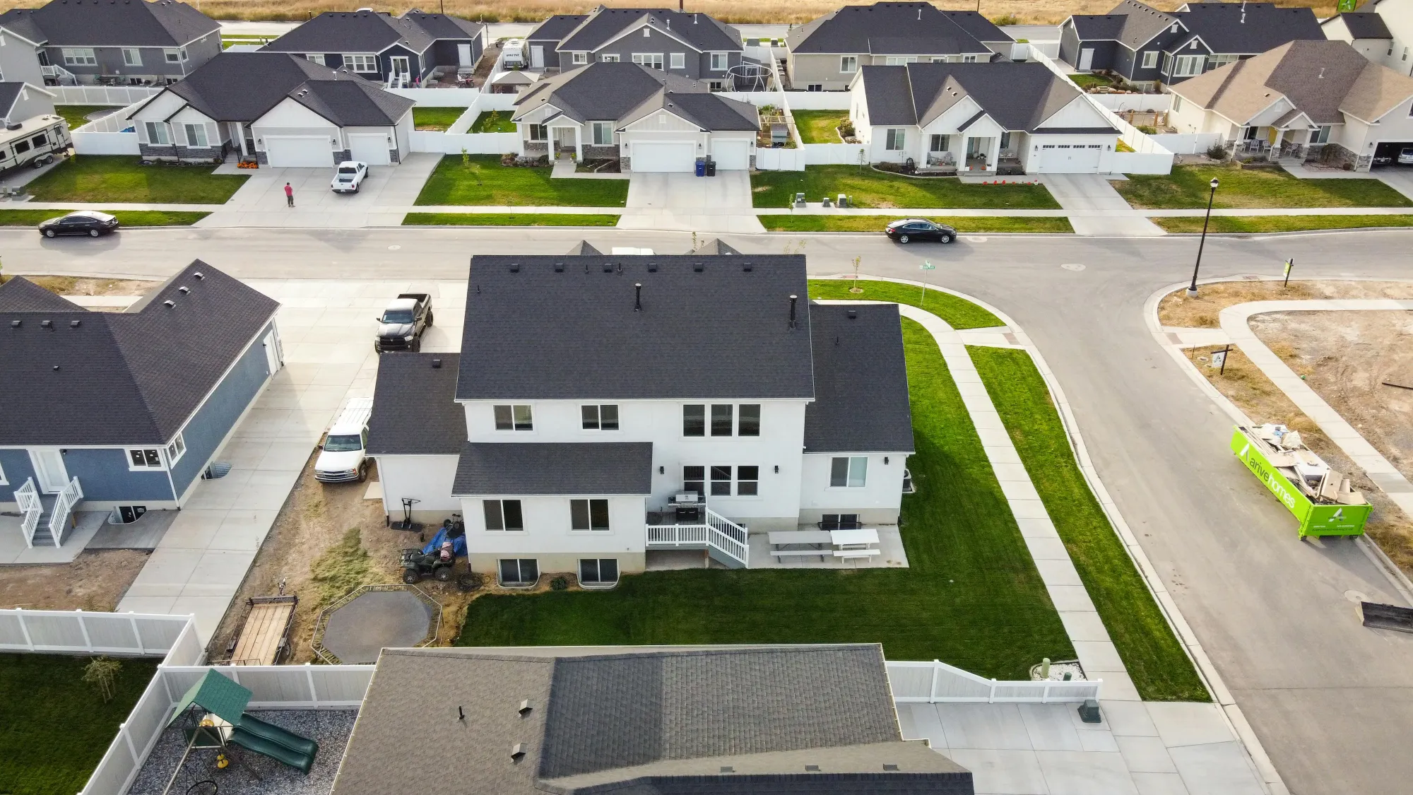
Real estate drone videography turns a listing into an experience by moving buyers through the property and its surroundings instead of showing them a static gallery. A two to three minute cinematic aerial video establishes the approach, the lot, and the neighbourhood in one continuous piece. That shift from information to experience is what separates a listing people scroll past from one they book a showing on.
Video Has Changed Buyer Expectations
The majority of home buyers today begin their search online, and their expectations have risen alongside the quality of content they consume every day. A static gallery of photos is no longer enough to make a premium listing feel premium. Buyers want to move through a space, understand the flow of the land, and get a genuine feel for the property before committing to a showing.
Real estate drone videography delivers exactly that. A well-produced aerial video opens with a sweeping approach to the property, moves through the outdoor spaces, and frames the home in the context of its surroundings. In two to three minutes, a buyer understands the neighbourhood, the lot, the view, and the character of the property in a way that ten photos never could.
That does not replace stills. Aerial photography still sells listings faster than ground level images alone, and video builds on that foundation rather than competing with it.
"Listings that include video receive up to 4x more inquiries than those without. For high-value properties, aerial videography has become the single most effective marketing asset an agent can produce."
Source: REA Group, 2012
What Goes Into a Real Estate Drone Video?
A planned sequence of four or five distinct shots, not one continuous flight: an establishing approach, an orbit that reveals the lot, a pass over the outdoor spaces, and a wider frame that places the home in its neighbourhood.
The single most common mistake in aerial listing footage is treating the shoot as one long take. A drone lifts off, circles the house once, and lands. The result is technically aerial and tells a buyer almost nothing, because no individual moment in it is composed for anything in particular.
A produced listing video is built from separate shots flown deliberately, each doing one job, then cut together in an order that reads as an arrival. Roughly:
- An establishing approach that brings the buyer toward the property and sets its scale against everything around it
- A slow orbit at low altitude, which is the shot that makes lot shape and boundaries legible in a way a floor plan never manages
- A pass over the outdoor living space — pool, deck, garden, frontage — held long enough to register as usable, not decorative
- A neighbourhood frame showing what the property is near: water, green space, a school catchment, a main road
- A closing rise or pull-back that leaves the buyer with the property in full context
Those are flight decisions, made before the drone leaves the case. Light direction, altitude, and the order the shots will be cut in are all fixed at the shoot, because none of them can be recovered in the edit.
How Long Should a Listing Video Be?
Sixty to ninety seconds for the listing page, with a shorter vertical cut for social. Past about two minutes, the closing shots are seen by almost nobody.
Run time is a distribution decision, not a taste one. A listing-page video is watched by someone who has already clicked the property and wants confirmation, so it can afford a full sequence and a proper closing frame. A social cut is watched by someone who did not go looking for it at all, which means the strongest shot has to land in the first two or three seconds rather than build toward one.
That difference is why the same shoot produces more than one deliverable. A horizontal 16:9 cut carries the listing page and MLS. A vertical 9:16 cut, reframed rather than cropped, carries Reels and TikTok. A short silent loop works for email, where autoplay audio is a liability. Every package is delivered in the formats the listing will actually be marketed in, within 24 hours of the shoot.
Reframing for vertical is worth planning at the shoot rather than solving afterward. A shot composed edge to edge for a wide frame has nothing left at the sides once it is cut to a phone screen, so the vertical version of a property video is flown with that crop in mind.
What Makes an Aerial Video Worth the Investment?
The planning and the edit, not the equipment. A produced aerial video holds buyer attention that a rushed flyover loses.
Not all drone footage is created equal. The difference between a rushed flyover and a thoughtfully produced aerial video is significant, and buyers notice it. A skilled drone videographer plans each shot around the property's best features: the way morning light hits the facade, the shape of the lot from above, the relationship between the home and its outdoor spaces.
The editing matters just as much as the flight. Colour grading, music selection, and pacing all contribute to the emotional response a buyer has when they watch. A great aerial video doesn't just inform. It creates genuine desire for the property, which is the single most powerful driver of fast, competitive offers.
Which Properties Benefit Most From Drone Video?
On properties where outdoor space, views, or location carry the value: waterfront homes, rural acreage, large lots, and homes with significant landscaping.
While aerial videography adds value at every price point, it delivers the highest return on properties where outdoor space, views, or location are key selling features. Waterfront homes, large rural lots, acreage properties, and homes with significant landscaping all benefit enormously from footage that can only be captured from the air.
Agents who consistently include real estate drone videography in their marketing packages report stronger listing presentations, more confident sellers, and a measurable edge when competing for high-value listings. In a market where first impressions are made online, the agents who show best win most often.


