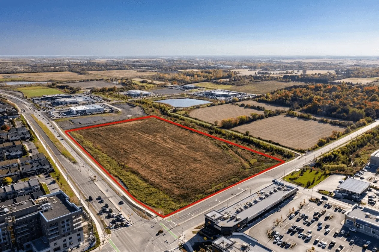
Property outlining maps a property's boundaries directly onto an aerial image, so buyers can see exactly where the lot begins and ends. It replaces a legal survey or site plan with a single picture a buyer understands at a glance. Outlining is added to a drone photography shoot rather than sold on its own.
What Property Outlining Actually Is
Property outlining is the process of mapping and visually highlighting a property's boundaries directly onto aerial imagery. Rather than asking buyers to interpret a legal survey or cross-reference a site plan, outlining overlays the lot lines onto a real aerial photograph or drone image of the property. The result is an immediate, intuitive understanding of exactly what the buyer is purchasing.
It sounds straightforward, but the impact is significant. Buyers regularly misread lot sizes from listing descriptions, especially on irregular parcels, corner lots, or properties with rear land that isn't visible from the street. A clean property outline removes that confusion entirely and gives buyers the confidence to move forward.
"Visual clarity drives faster decisions. When buyers can see exactly what they are getting, they spend less time second-guessing and more time making offers."
Why It Matters More Than Most Agents Realize
It answers the most common buyer question about a listing before a showing is booked, and it removes a frequent source of friction later in the deal.
The value of property outlining goes beyond aesthetics. For buyers, it answers a foundational question about the asset they're considering. For sellers, it removes a common source of friction that can slow down or derail a deal. And for agents, it signals a level of professionalism and thoroughness that builds trust with both parties.
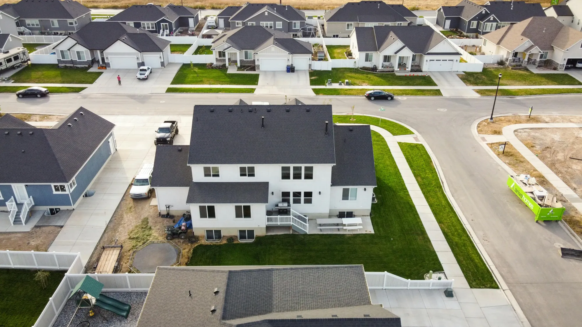
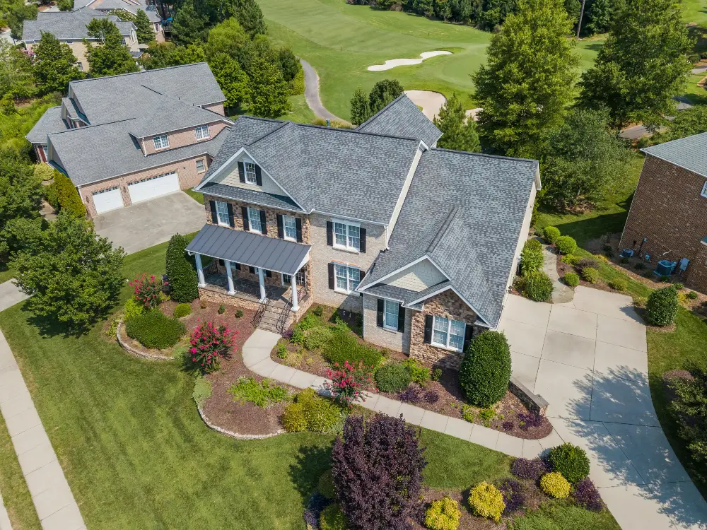
When property outlining is paired with real estate drone photography, the combination becomes particularly powerful. An aerial image already gives buyers a bird's eye view of the property. Adding clearly defined lot boundaries on top of that image transforms it from a scenic photo into a genuinely informative marketing asset. Buyers can see the full scope of the land, understand how the structures sit within the lot, and assess outdoor space at a glance.
Outlining is an add-on to an aerial shoot rather than a standalone service, so it is priced as part of the package. What real estate drone photography costs covers how the pieces fit together.
- Clarifies lot boundaries on corner lots, irregular parcels, and acreage properties
- Reduces buyer questions and back-and-forth before showings
- Pairs naturally with aerial photography to create a complete property overview
- Strengthens listing presentations for agents pitching to sellers
- Adds a professional, polished layer to real estate listing websites
A Small Detail That Makes a Real Difference
In practice, property outlining is one of those details that buyers notice without necessarily being able to name. A listing with a clearly outlined aerial image just feels more complete, more trustworthy, and easier to evaluate. That perception translates directly into engagement: more time spent on the listing, more questions asked by serious buyers, and a shorter path from interest to offer.
For agents looking to differentiate their marketing and give sellers a reason to choose them, adding property outlining to every aerial shoot is a low-cost, high-impact move. It elevates the entire listing package and communicates the kind of attention to detail that wins repeat business.